
Why build Malta at 1:1 in Minecraft?
Where Malta in Minecraft came from, what a 1:1 Malta really means, and how real survey data becomes a Minecraft world you can explore.
In short: Malta in Minecraft is a full-size copy of Malta, Gozo and Comino in Minecraft Java Edition: every block is one metre, and the land and the seabed come from real surveys. This post explains where the idea came from, what "1:1" really means, and how a pile of survey data turns into a world you can walk around in.
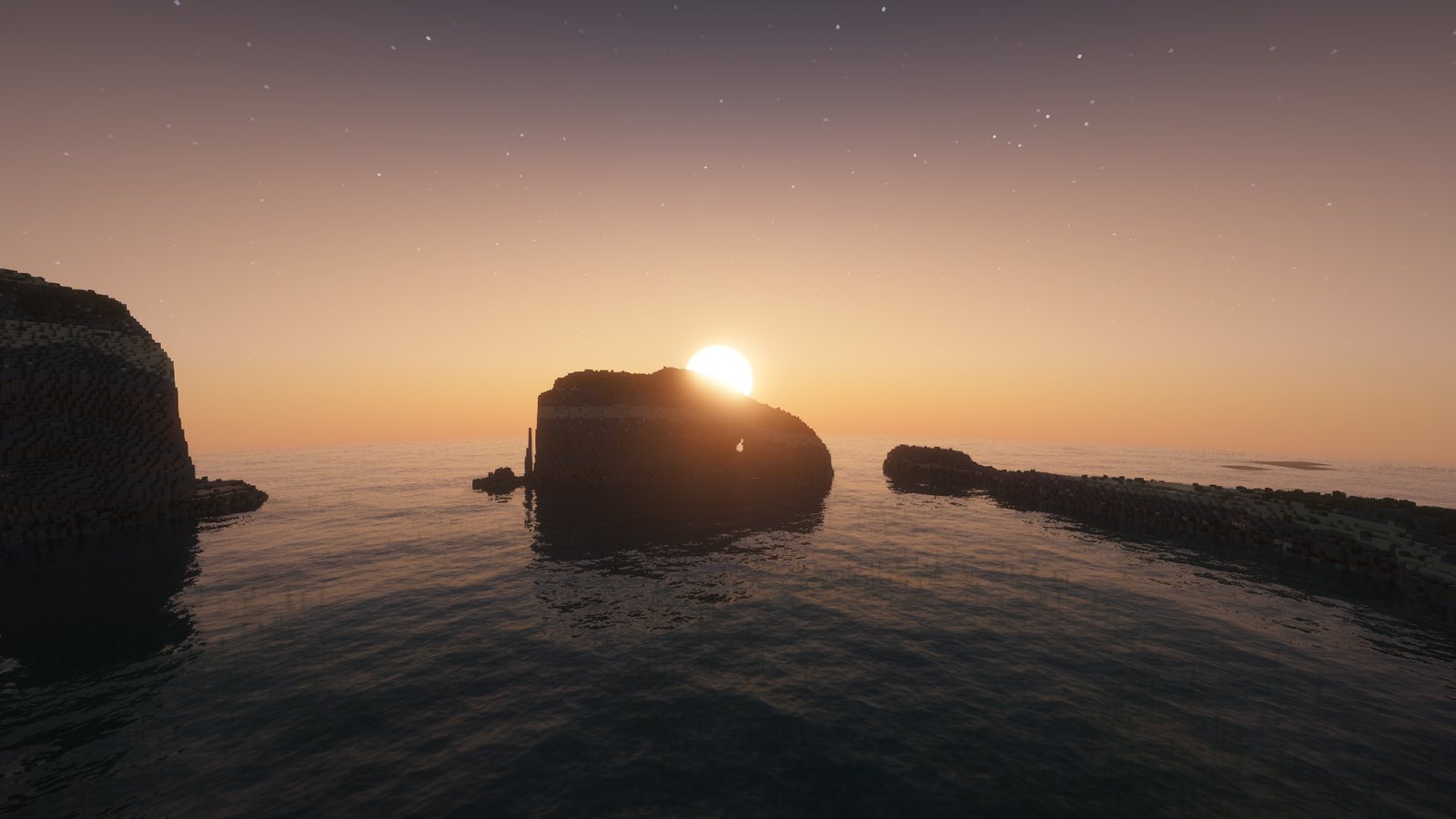
The idea
Like a lot of kids my age, I spent much of my childhood in Minecraft, and for years I searched online for a map of Malta. Every map I found was built at a much smaller scale and filled in with Minecraft's normal terrain generation, so Malta came out as a single small plains or desert biome. An island famous for its cliffs, rendered as a field. Young me took it personally. What I wanted was the real thing: every cliff and bay at full size, with room to play without limits.
In October 2026, about to start yet another singleplayer world, I remembered that dream, and decided it was finally time to build it. How hard could it be? (See: the rest of this blog.)
What "1:1" means
One block is one metre, in every direction. Ta' Dmejrek, the highest point of the islands, is 253 m above the sea, so in the world it will stand 253 blocks above sea level. Fungus Rock, the Azure Window's opening, the depth of the Blue Hole: all at their real size, in their real place.
That is also the hard part. Minecraft's normal world is not tall enough to hold Malta's highest hills and the seabed under them, the seabed has to come from somewhere, and a lot of what makes Malta look like Malta (rubble walls, terraced fields, carob trees, salt pans) has no "height map" at all.
How a survey becomes a world
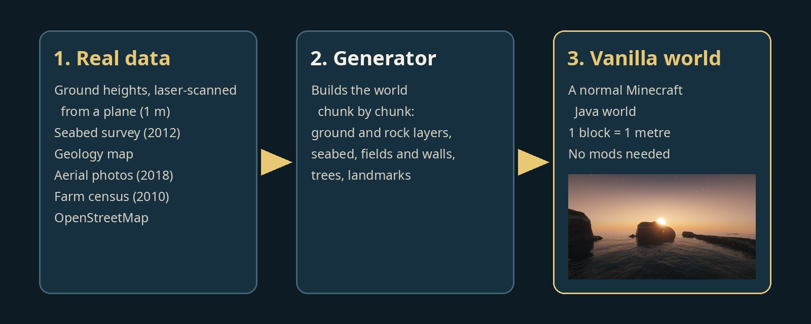
- Real data in. Laser-scanned ground heights at 1 m (Planning Authority, 2012 and 2018), a 2012 seabed survey (University of Malta), the islands' geology map, 2018 aerial photos, OpenStreetMap and the 2010 agricultural census.
- A generator. A small program builds the world from that data, chunk by chunk: ground and rock layers first, then the sea floor, fields, walls, trees and landmarks.
- A normal world out. The generator is only used while building. The finished world is pure vanilla: you will not need any mods to play it.
Where the data cannot see something, like the inside of a sea arch or a cave, it is modelled from photos and other sources, and the wiki says so on each place page.
Technical details
- Projection: a transverse Mercator centred on the islands, so 1 block = 1 m with no scaling. X is east, Z is south (Minecraft's own convention).
- Height: a world height of y −192 to 383 via a data pack (vanilla is −64 to 319). Sea level stays at y 63, so a point h metres high sits at y = 63 + h. Land is never squeezed. Only sea deeper than 200 m is compressed.
- Ground: the 2012 1 m DTM is the primary source, with the 2018 DTM filling gaps.
- Seabed: the 2012 survey is used wherever it has data, out to about 1.85 km off Gozo. Further out, open-sea bathymetry (EMODnet) takes over.
- Generator: a generation-only Fabric mod for Minecraft Java 26.3, fed by tiles prepared in Python. Each build is read back afterwards and any missing region is generated again.
What went wrong (a taste of what's coming)
- The ground was 200 m out of place. The 2012 height map's coordinates were labelled in one coordinate system but were really in an older one. Every cliff landed about 200 m north of where it should be until this was found and checked at six sites. My Malta was perfectly accurate, just 200 m north of Malta.
- "Polka-dot" fields. From above, my first farmland looked like a rash. Getting real field shapes, walls and crops took several rounds, using the census and the Planning Authority's maps.
- Fungus Rock is 50 m tall. Guidebooks often say 60 m. A 15 cm survey says 50. The world uses the survey.
Each of these gets its own post.
What's next
The next post is a progress update: what is in the world today, and what is still to come. After that: the stories behind Fungus Rock and the Azure Window, and how the seabed was built from a dive survey.
Sources: Planning Authority (Malta) elevation data and 2018 aerial photos, University of Malta 2012 seabed survey, BGS / Continental Shelf Department geology map, EMODnet Bathymetry, OpenStreetMap contributors, NSO agricultural census 2010. In-game pictures use the Faithful 64x resource pack (faithfulpack.net, licence) and the Complementary Unbound shaders.
NOT AN OFFICIAL MINECRAFT PRODUCT. NOT APPROVED BY OR ASSOCIATED WITH MOJANG OR MICROSOFT.